Locating NoaNoa
NoaNoa in the Philippine map
Some consider Palawan as the last frontier of the Philippines due to its rich and untouched vast natural sceneries. Indeed, a couple of popular destinations like El Nido, the underground river, and the Tubataha Reef can be found in this island.
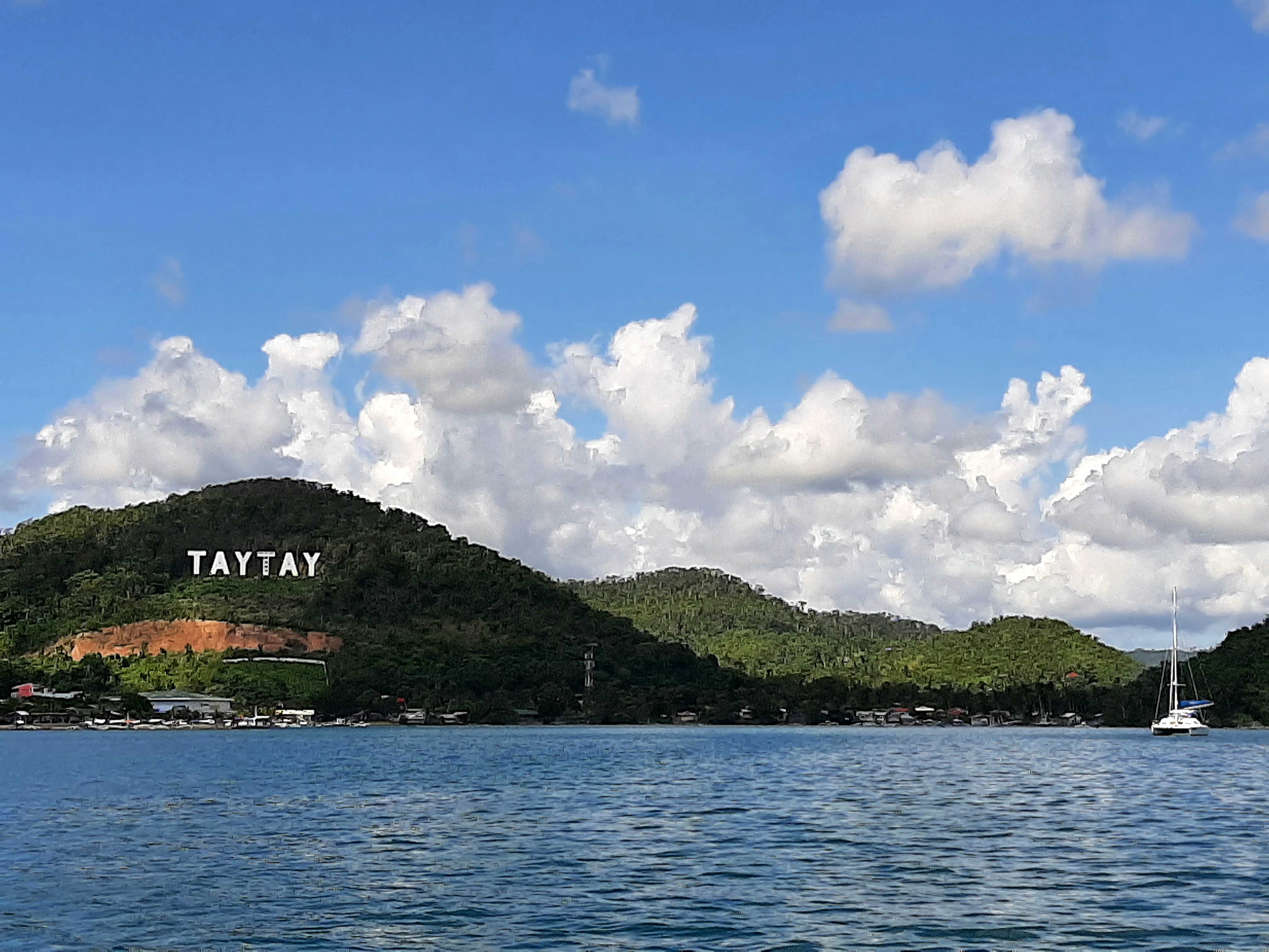
However, much of Palawan is yet to be discovered by the world. For example, Taytay, a sparse collection of fishing villages that can be found on the Sulu Sea side of Northern Palawan, is home to NoaNoa Island as well as many other charming islands.

Weather at NoaNoa
Some find it strange how the Philippine weather service consistently broadcasts “rain and lightning” 365 days per year. Obviously this is not the case everywhere. In northeastern Palawan, NoaNoa Island historically receives the following weather:
December – March: Blue skies, Philippine winter
April – June: Dry season, blue skies, Philippine Summer,
July – Sept: Wet season, usually a couple of showers for fifteen minute of rain per day with blue skies mixed with clouds.
Oct- Nov: Mixed weather, usually fair weather unless there is a typhoon in the area which usually brings 3 days of rain.
With all that said, the reality of global warming brings all types of weather whenever it wants. Historical trends can’t be guaranteed.
